
- Knowledge Base and Manual
- MP-Web
- Mapping Tab
-
Installation
-
Integration
-
MP-Desktop
-
MP-Web
- Introduction
- Access
- Side Bar Navigation
- Dashboard
- Favourites
- Datasets
- Summary Tab
- Tables Tab
- Export Tab
- Graphical Tab
- Report Tab
- Mapping Tab
- Manual Data Entry
- Calendar Tab
- Action Plans
- Custom Forms
- Contacts and Alerts
- Compliance
- Task Scheduler
- Monitoring Scheduler
- Calculator
- Data Entry
- Email Importer
- Object Management
- Obligations
- Policies
- Administration
- Administration - Manage Users
- Administration - Datasets
- Administration - Internationalisation
- Administration - Email Importer
- Administration - Monitoring
- Administration - Advanced
- Culture
-
MP-Field
-
Release Notes
-
Reporting
-
Configuration
-
Trial and Demo
-
Monitoring Types
MP-Web Output - Google Maps
MP-Web Google Maps
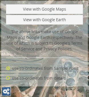
Clicking on the Google Maps link will open Google Maps in a new window.
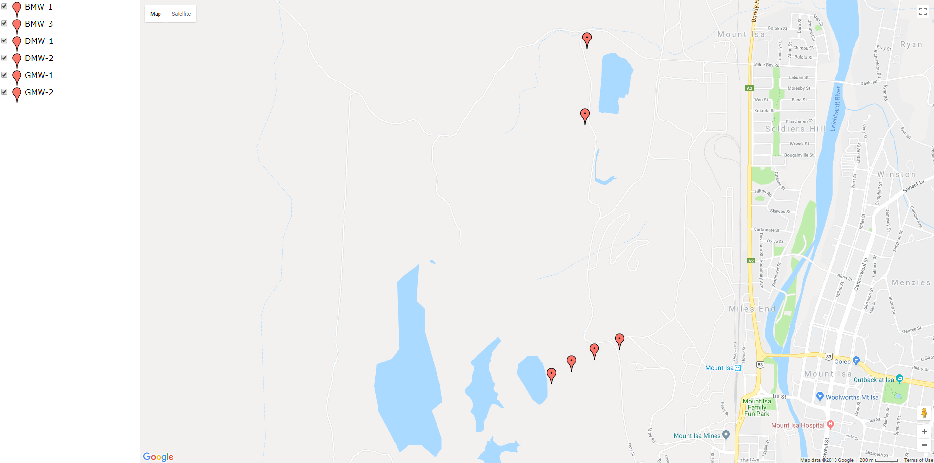
Zooming in and out of the image and panning use the standard Google Maps interface.
Clicking on one of the Sample Points will open up a data summary box. This will give a summary of the data available within the Dataset for that Sample Point, the number of readings, any breaches, the min, max, average, and last reading is all displayed.
Using the Google Earth link will download the KML file containing the required information. Opening the KML will load within Google Earth if installed.